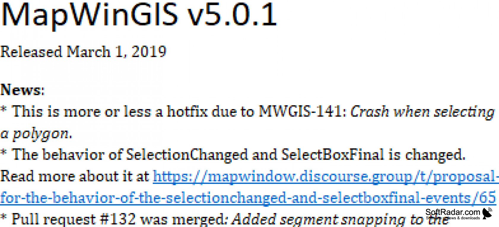
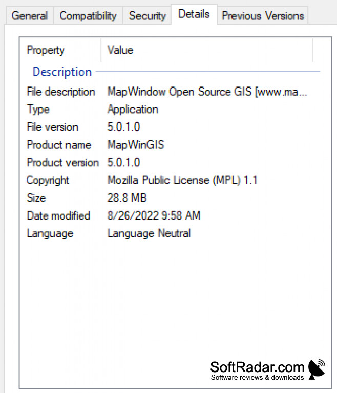
MapWindow GIS 5.0.1
by Daniel P. Ames
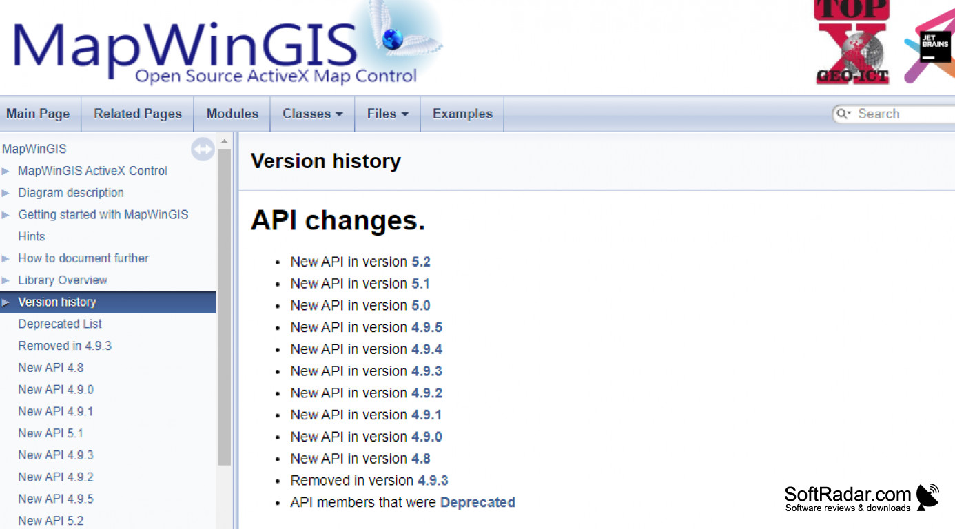
The MapWindow Geographic Information System is a free and open desktop source
MapWindow GIS software (version 5.0.1) is an open-source desktop GIS software that allows users to create, edit, and analyze geospatial data. The software features include an intuitive user interface, support for a wide range of data formats, advanced mapping tools, and the ability to create custom plugins. It also offers a variety of geoprocessing tools, such as buffering, clipping, and overlay analysis, making it a powerful tool for spatial data analysis.