
QGIS
QGIS is a mapping and geographic data editor for planners, researchers, and others who need to examine locations, build maps, or work with spatial datasets.
Operating system: Windows
Publisher: QGIS Development Team
Release: QGIS 4.2.3
License: Open source (GPL-2.0)
Antivirus check: VirusTotal report
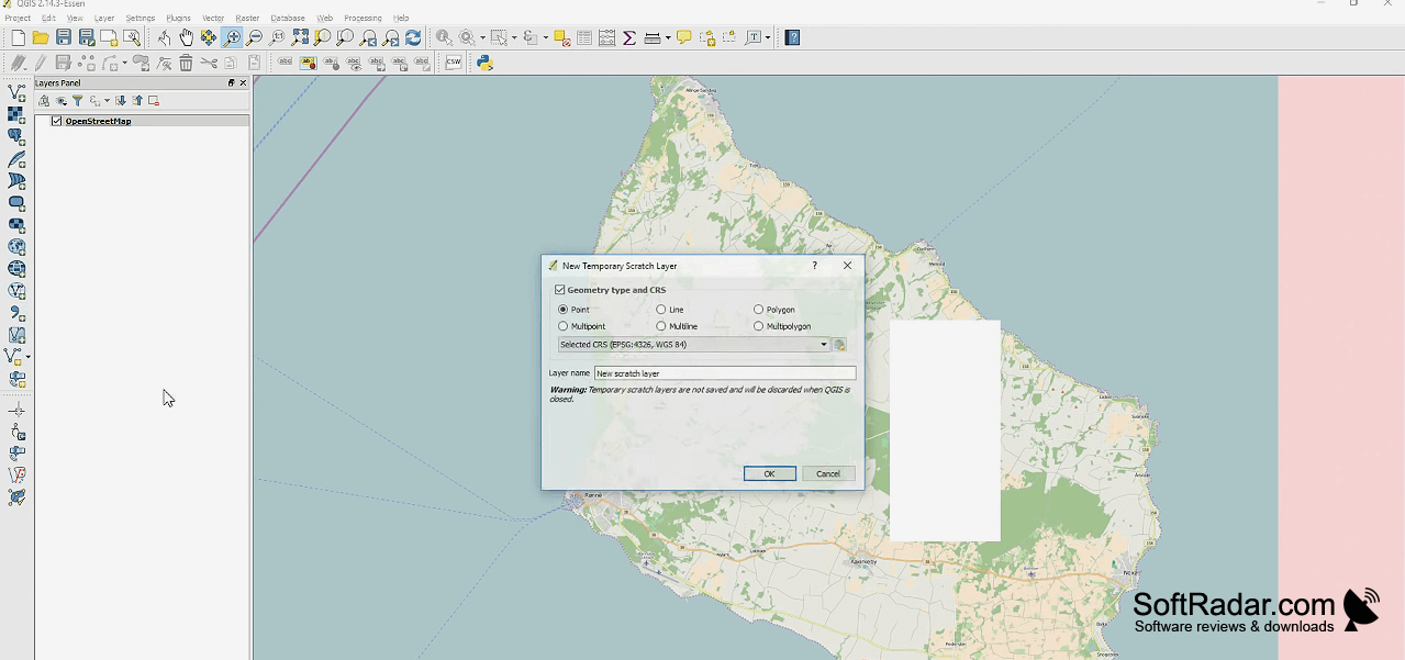
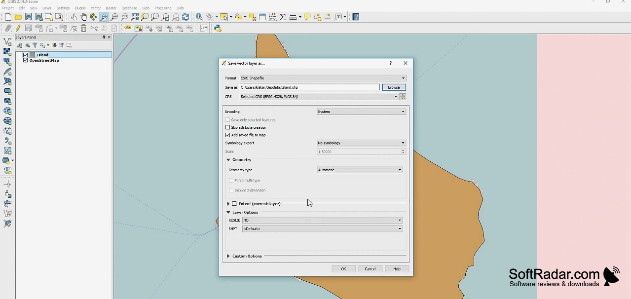
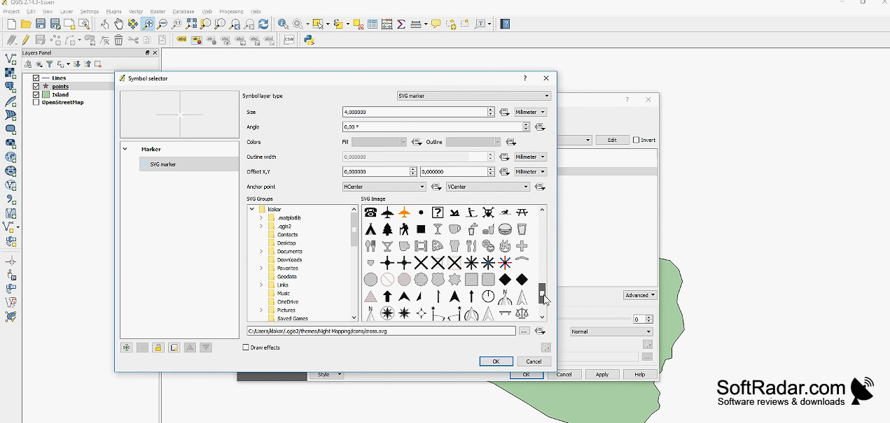
QGIS helps people turn location-based information into maps and practical analysis. Planners can compare land use with transport routes, while researchers can examine changes across an area. The program brings datasets together as separate layers, so users can check patterns, adjust geographic features, and prepare maps for reports or fieldwork. It is available as open-source software for Windows.
Bring different kinds of geographic data into one map, then inspect, edit, and measure them in the same workspace.
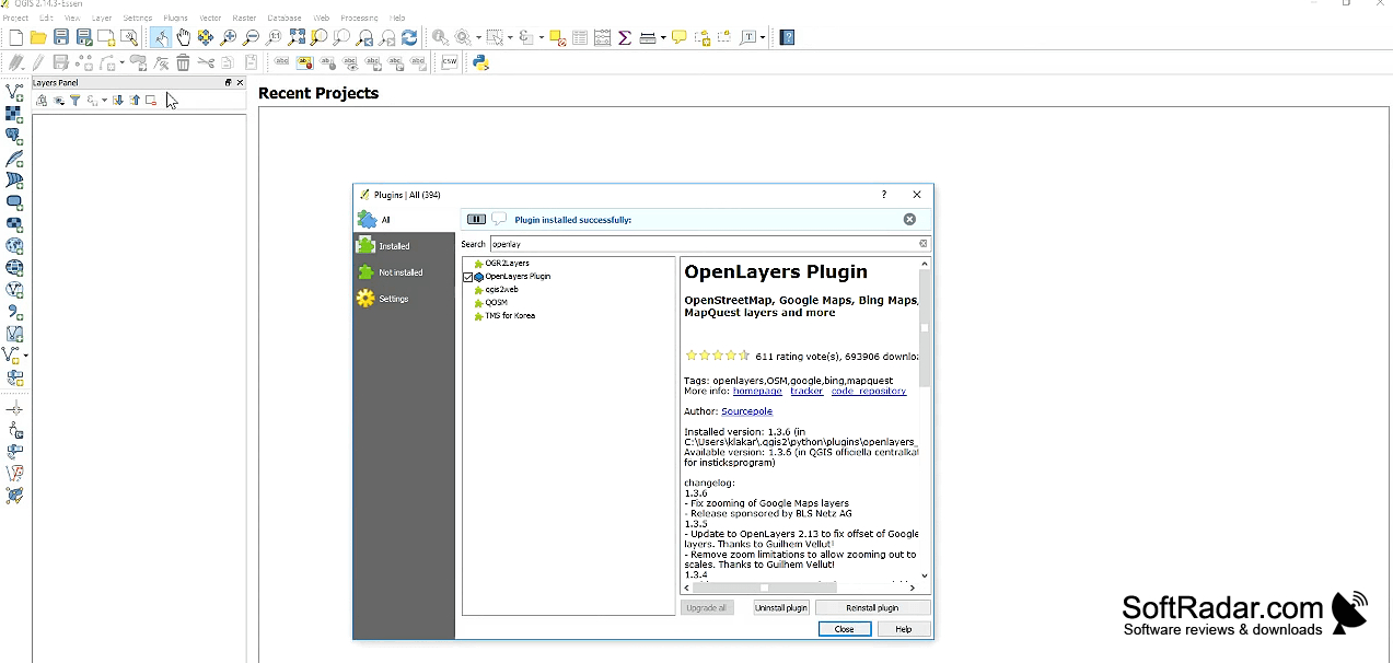
Users can add imagery, boundary files, and online map feeds, then control how each layer appears. Editing tools let them change shapes and associated records, while processing tools handle tasks such as finding nearby areas or combining overlapping regions. Map layouts can include legends and distance scales, and Python scripts or add-ons can extend repetitive or specialized workflows.
Features:
- Display imagery and geographic features in layers
- Edit feature shapes and linked data tables
- Run proximity and overlap analysis on maps
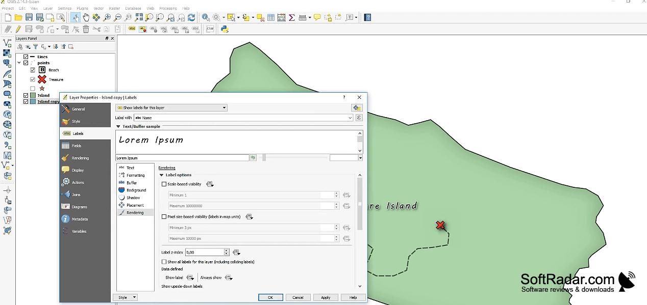
- Prepare printable layouts with legends and scales
- Connect to online geographic data services
- Automate mapping tasks with Python scripts
PROS
Extensive plugins expand mapping and analysis workflows.
Cartographic tools produce detailed print layouts.
CONS
Large datasets can slow rendering and processing.
Plugins may break after application updates.