QGIS 4.2.2
by QGIS Development Team
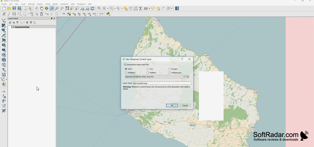
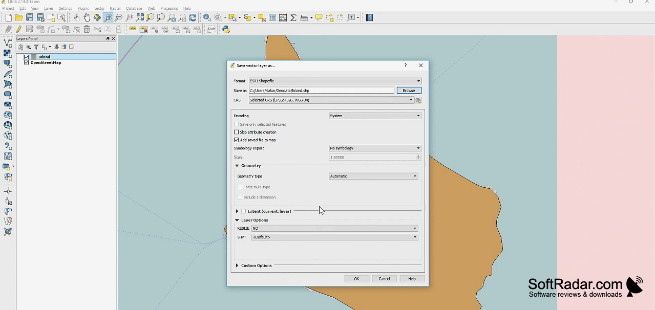
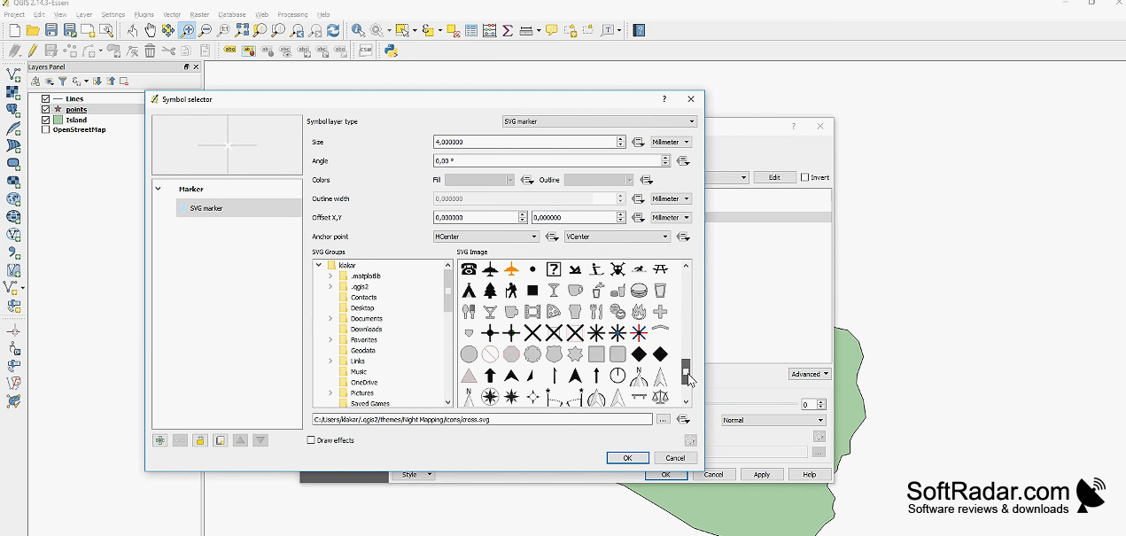
QGIS is a mapping and geographic data editor for planners, researchers, and others who need to examine locations, build maps, or work with spatial datasets.
Planners, researchers, and GIS users can use QGIS 4.2.2 to view, edit, and analyze geographic data from a desktop workspace. It supports map creation and spatial workflows with vector and raster layers, plus extensions through its plugin system.
Operating system: Windows
Publisher: QGIS Development Team
Version: 4.2.2 (checksum)
Antivirus check: VirusTotal report