SHP Viewer
by Cycle Electronics
SHP Viewer is a free software program used to view and analyze spatial (GIS) data in a graphical format.
SHP Viewer
SHP Viewer is an advanced software solution designed to enable users to view, analyze, and explore Geographic Information System (GIS) data stored in the ESRI Shapefile (.shp) format.
SHP Viewer offers a comprehensive list of features to enable users to easily view and analyze GIS data.
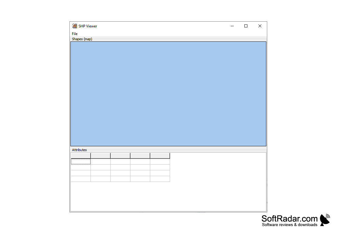
View GIS Data:
• View shapefiles (.shp) from ESRI ArcGIS, MapInfo, AutoCAD, and other GIS software
• View all points, lines, polygons, and other shapes in the shapefile
• View shapefile attributes and properties
• Zoom to fit and zoom in and out of the shapefile
• Select and highlight individual shapes from the shapefile
Analyze GIS Data:
• Measure distances and areas in the shapefile
• Calculate spatial relationships such as intersections and overlaps
• Create buffers and query features within the buffer
• Generate reports of the shapefile data
Explore GIS Data:
• View and explore shapefiles in 3D
• Visualize and animate data over time
• Create interactive maps with layers and legends
• Create custom map projections
Advanced Features:
• Support for custom coordinate systems and projections
• Support for multiple languages
• Compatible with Microsoft Windows, Mac OS X, and Linux
• Export GIS data to various formats such as GeoTIFF, DXF, and KML
• Advanced printing and plotting options
SHP Viewer is an advanced software solution designed to enable users to view, analyze, and explore Geographic Information System (GIS) data stored in the ESRI Shapefile (.shp) format.
SHP Viewer provides an easy way to view and interact with spatial data.Features:
SHP Viewer offers a comprehensive list of features to enable users to easily view and analyze GIS data.
View GIS Data:
• View shapefiles (.shp) from ESRI ArcGIS, MapInfo, AutoCAD, and other GIS software
• View all points, lines, polygons, and other shapes in the shapefile
• View shapefile attributes and properties
• Zoom to fit and zoom in and out of the shapefile
• Select and highlight individual shapes from the shapefile
Analyze GIS Data:
• Measure distances and areas in the shapefile
• Calculate spatial relationships such as intersections and overlaps
• Create buffers and query features within the buffer
• Generate reports of the shapefile data
Explore GIS Data:
• View and explore shapefiles in 3D
• Visualize and animate data over time
• Create interactive maps with layers and legends
• Create custom map projections
Advanced Features:
• Support for custom coordinate systems and projections
• Support for multiple languages
• Compatible with Microsoft Windows, Mac OS X, and Linux
• Export GIS data to various formats such as GeoTIFF, DXF, and KML
• Advanced printing and plotting options
Minimum System Requirements:
• Operating System: Windows XP/Vista/7/8/10
• CPU: Intel Pentium processor
• RAM: 512 MB
• Hard Drive: At least 100 MB of free disk space
• Graphics Card: DirectX 9 compatible graphics card with at least 32 MB of video memory
• DirectX: Version 9.0c
• Monitor: Monitor with 1024x768 resolution
• Optical Drive: DVD-ROM drive
PROS
Easy to use with a user-friendly interface.
Supports various file types besides SHP.
Offers fast and efficient viewing of 3D files.
Supports various file types besides SHP.
Offers fast and efficient viewing of 3D files.
CONS
Limited file types supported for viewing and editing.
Lacks advanced editing tools and features.
The user interface is not very intuitive or user-friendly.
Lacks advanced editing tools and features.
The user interface is not very intuitive or user-friendly.