EarthTime 5.21.3
by DeskSoft
Discover locations around the world and the current time there
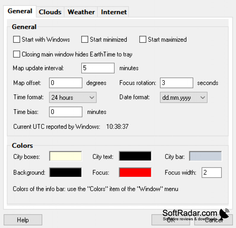
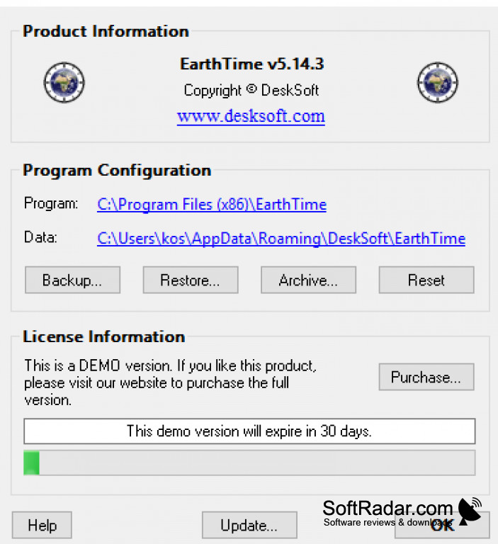
EarthTime software (version 5.21.3) is a powerful tool for visualizing global environmental changes. It allows users to view satellite imagery and data on a range of topics, such as deforestation, air pollution, and sea level rise. The software also provides historical data and projections, making it a valuable resource for researchers, policymakers, and the general public. Additionally, EarthTime offers interactive features such as time-lapse animations and customizable layers for detailed analysis.

EarthTime 5.5.32
(5.7 MB)
EarthTime 5.5.36
(3.91 MB)
EarthTime 5.5.37
(3.91 MB)
EarthTime 5.5.38
(3.91 MB)
EarthTime 5.5.41
(3.92 MB)
EarthTime 5.5.42
(3.92 MB)
EarthTime 5.8.4
(3.96 MB)
EarthTime 5.12.3
(3.97 MB)
EarthTime 5.12.5
(3.97 MB)
EarthTime 5.14.0
(3.99 MB)
EarthTime 5.14.1
(3.99 MB)
EarthTime 5.14.3
(3.99 MB)
EarthTime 5.21.3
(4.01 MB)