EarthTime 5.5.32
by DeskSoft
Discover locations around the world and the current time there
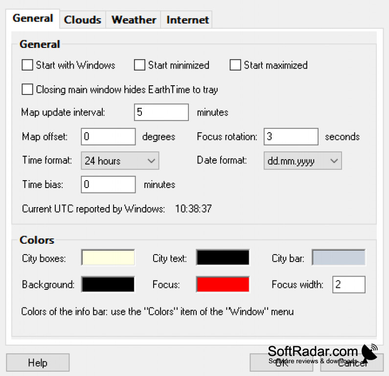
EarthTime version 5.5.32 is a software that provides visual representation of global changes over time through satellite imagery and data visualization. The software features a timeline tool that allows users to view and compare changes in specific locations over time, including urbanization, deforestation, and sea level rise. The software also includes real-time data on current events such as wildfires, hurricanes, and air quality. Additionally, EarthTime allows users to create and share custom maps and visualizations.

EarthTime 5.5.32
(5.7 MB)
EarthTime 5.5.36
(3.91 MB)
EarthTime 5.5.37
(3.91 MB)
EarthTime 5.5.38
(3.91 MB)
EarthTime 5.5.41
(3.92 MB)
EarthTime 5.5.42
(3.92 MB)
EarthTime 5.8.4
(3.96 MB)
EarthTime 5.12.3
(3.97 MB)
EarthTime 5.12.5
(3.97 MB)
EarthTime 5.14.0
(3.99 MB)
EarthTime 5.14.1
(3.99 MB)
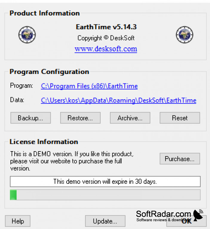
EarthTime 5.14.3
(3.99 MB)
EarthTime 5.21.3
(4.01 MB)