

OpenCPN
An open source application used for nautical navigation
OpenCPN is free software distributed under the GPLv2 license. A program has been created for the organization of maritime navigation of ships of various types and sizes. The program was created by a group of seafarers who immediately tested it in real conditions, improving and eliminating the shortcomings found. In addition to navigation, it is possible to pre-plan routes.
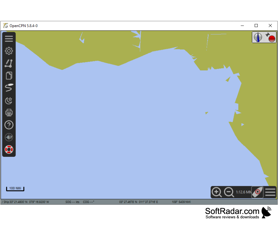
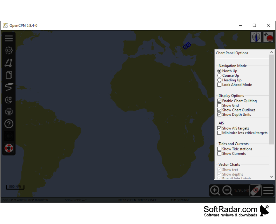
The program makes it possible to track the current position of the vessel, its speed and direction of movement, taking into account the data of navigation charts and forecasts of tides and currents. An interesting feature is the reception of information from other vessels about their location and course on the radio line. The GPS global positioning system is used for the navigation itself, and in case of its absence the program is used as a planning tool. Cards for OpenCPN are free and available for download on the official website.
OpenCPN offers real-time tracking of a vessel's position, speed, and direction, enhancing maritime navigation and route planning abilities.
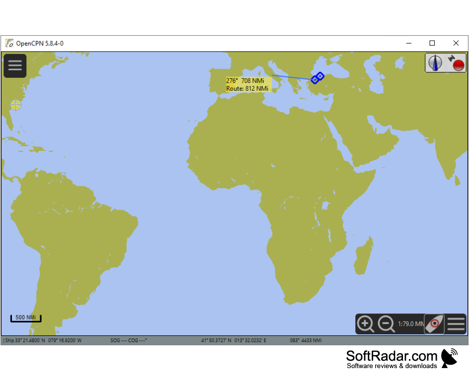
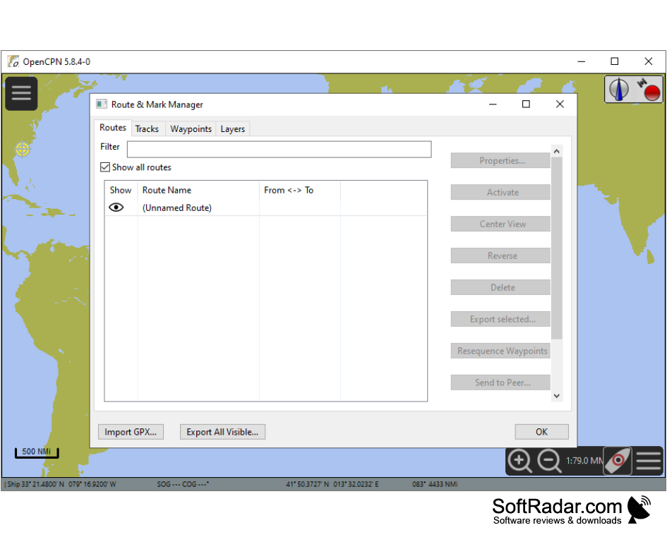
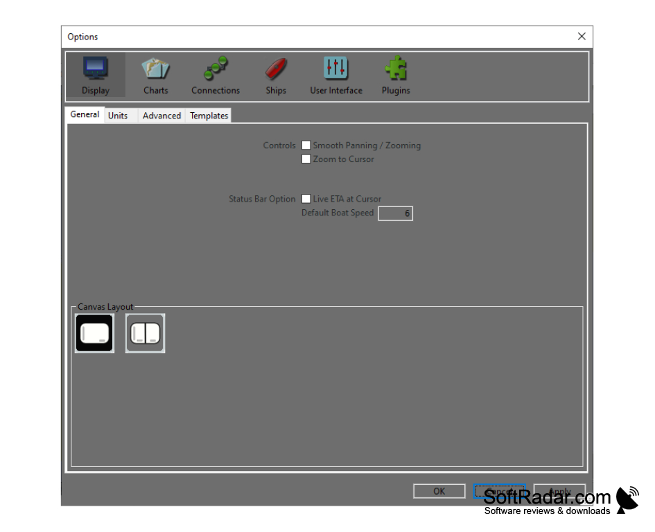
While the vessel is in motion, you can select a new map and display it with the required resolution and detail. To use an external autopilot, you must enter the route and waypoints. The documentation included in the program includes a lot of useful information.
- support for BSB, C-MAP and S-57 ENC vector maps;
- AIS decoding;
- Possibility to use NMEA and gpsd GPS services;
- manual navigation and autopilot;
- support for multiple languages.
PROS
Supports a wide range of chart formats including S57 and S63.
Stable performance across multiple platforms such as Windows, MacOS, and Linux.
CONS
Possesses a somewhat dated user interface.
Limited features compared to commercial software.