OziExplorer

by Des & Lorraine Newman

Allows for working with maps on computer screen

Operating system: Windows

Publisher: Des & Lorraine Newman

Antivirus check: passed

Report a Problem

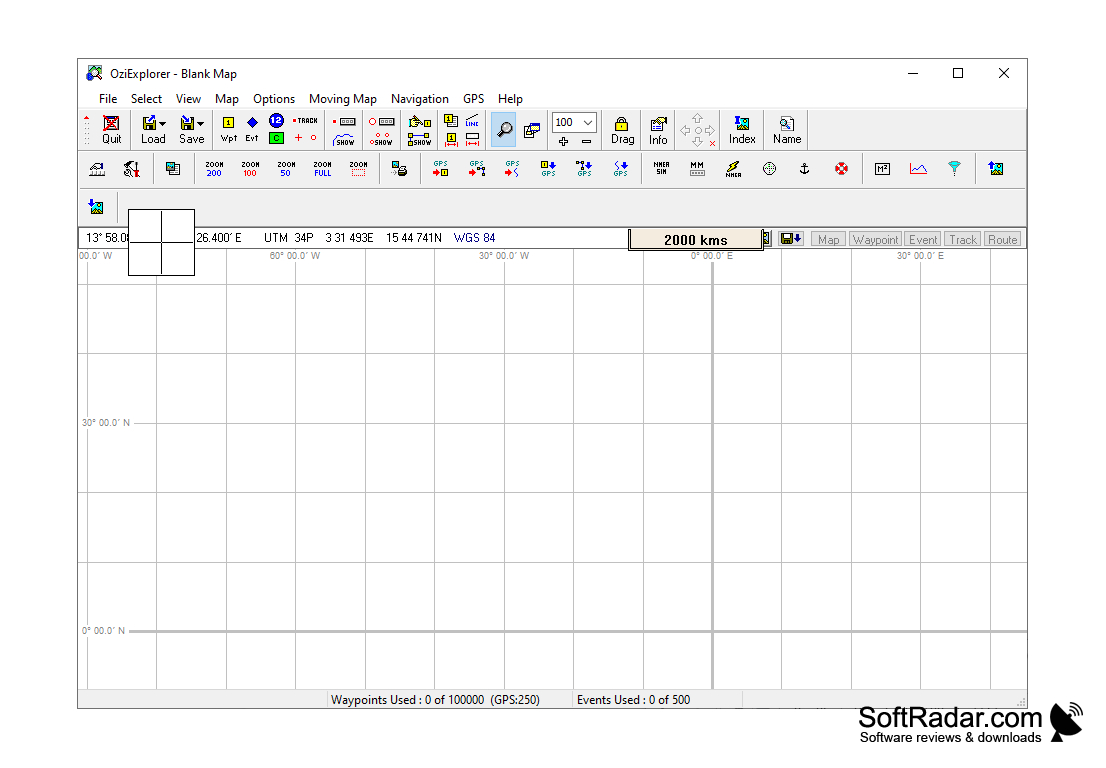
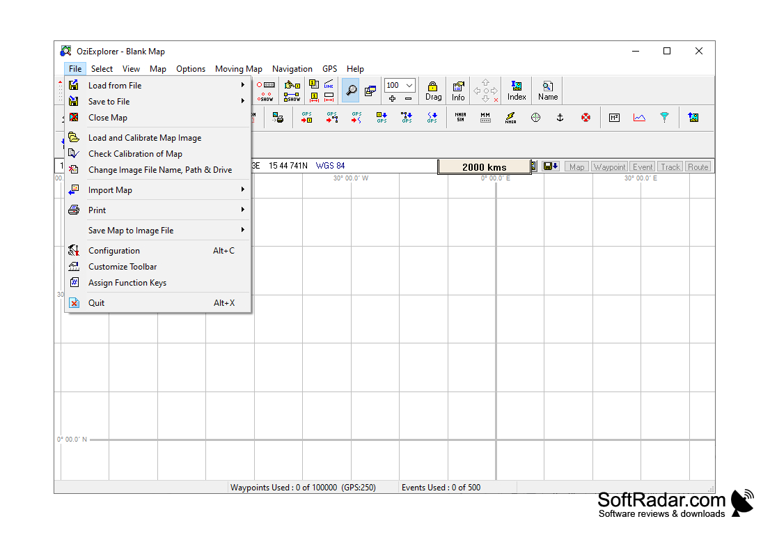
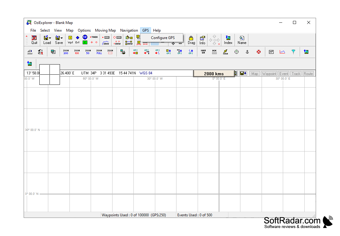
OziExplorer is an application for combining raster maps with GPS data. OziExplorer supports GPS receivers Garmin, Magellan, Lowrance, Eagle, Brunton/Silva, MLR and allows you to navigate raster maps interactively. The user of the program can work with both ready-made and independently scanned cards. BSB, USGS DRG, ECW, SID, TIF, PNG, etc. files can be used as maps. You can add your own comments to the maps, use different projections and coordinate grids, view your GPS position in real time and much more.

OziExplorer enables real-time navigation by interactive integration of raster maps with various GPS data.
Windows 95/98/ME/NT4/2000/XP/Vista/Windows 7/Windows 8/Windows 10 operating system
1GB RAM
Active Internet connection for map downloading and GPS connection
GPS receiver compatible with the software

PROS
Allows for extensive customization and personalization of maps.
Supports a wide range of GPS devices.
Offers real-time tracking and navigation functionalities.

CONS
Interface can be complex and difficult for beginners.
Limited free version functionalities.
Occasionally experiences slow loading times.

Finn
Mon, Jan 22, 2024

OziExplorer is an application that allows you to combine raster maps, with GPS data. It is compatible with GPS receivers like Garmin, Magellan, Lowrance, Eagle, Brunton/Silva and MLR. With this software you can navigate on raster maps whether they are pre made or self scanned in formats such as BSB, USGS DRG, ECW, SID, TIF and PNG. You have the option to add comments to your maps and utilize projections and coordinate grids while also viewing your real time GPS position. The key strength of OziExplorer lies in its ability to seamlessly integrate raster maps with GPS data for real time navigation. This software offers customization options so that you can personalize your maps according to your preferences. Moreover it supports a range of GPS devices which gives you the flexibility to choose the hardware that suits your navigation needs best. The time tracking and navigation features greatly enhance the user experience making it an invaluable tool for those who rely on GPS data for location based activities. However it's important to note that there are some considerations or trade offs to be aware of. The interface of OziExplorer may pose challenges for beginners as it can be complex and require some time to get familiar, with. Although the software does not have a free version full package ,You may find it necessary to purchase the paid version in order to unlock the complete range of features. Furthermore a few users have mentioned delays, in loading which could potentially affect the effectiveness of the application.
image/svg+xmlBotttsPablo Stanleyhttps://bottts.com/Florian Körner Andrew O.
OziExplorer is a GPS and mapping software package for Microsoft Windows and mobile devices used for tracking, navigating, and mapping. It can be used to view and store maps, create waypoints and routes, upload and download data to and from GPS devices, and more.
STATISTICA
An Advanced analytics and Data Science software targeted for business innovation
LabVIEW
Engineering software for applications
SolidWorks Viewer
Allows for the measurement of 3D files and other portraits
gretl
Cross platform package for windows
Scilab
Scilab is a numerical computation engine for engineering applications for WIndows, Linux, and Mac