
Seterra
Seterra is a free geography quiz program for Windows with map exercises about countries, capitals, cities and flags.
Operating system: Windows
Publisher: Seterra
Release: Seterra 4.02.13
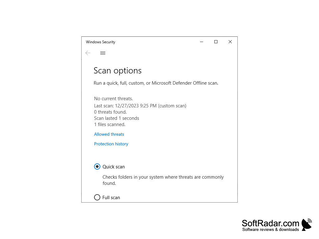
Antivirus check: VirusTotal report
Seterra is a geographical game that teaches the user about geography. They can learn about countries, capitals, cities, states, provinces, country flags, etc. There is a multitude of games to teach the user about geography. This software will help you learn geography facts in a fun and intuitive way. Seterra is suitable for grade school students, college students, or anyone looking to learn about geography. It is free, which suits school systems on a budget as well. Seterra was created in Sweden by Marianne Wartoft, and its Windows version has been used since the late 1990s.
Features:
- More than 100 exercises aimed to teach about geography, from countries and capitals to cities and world flags, in a fun and intuitive way.
- Map quizzes ask you to find places on the map; the correct answer is color-coded by how many tries you needed, so you can see your results at a glance.
- Exercises are grouped by region, perfect for anyone wanting to brush up on the U.S. states and capitals, the countries of Europe or Asia, or the cities of France and Mexico.
- Each exercise has its own high score list to track your progress, and the program runs in Chinese, Danish, Dutch, English, German, French, Italian, Norwegian, Portuguese, Romanian, Serbian, Spanish and Swedish.
It engages the user in a fun and involved way.
Seterra is a simple and effective way to learn geography at home or in class. With its easy to use interface and its large set of quizzes, it keeps learning light and competitive. It is a lightweight download and is offered for free for any Windows user that wants to hone their knowledge of geography. It will record high scores for your games as well, creating a competitive nature in the app. The Windows program is no longer updated: Seterra was acquired by GeoGuessr in 2022, and the quizzes now continue on the GeoGuessr website and in mobile apps.
32-bit or 64-bit
PROS
Supports multiple languages for improved user accessibility.
Free to use and works offline once installed.
CONS
Offers fewer quizzes than the current online version.
Has a dated interface compared with the web version.


