Google Earth 6.2.2.6613
by Google
Google earth a a nice way to discover the world from your computer.y
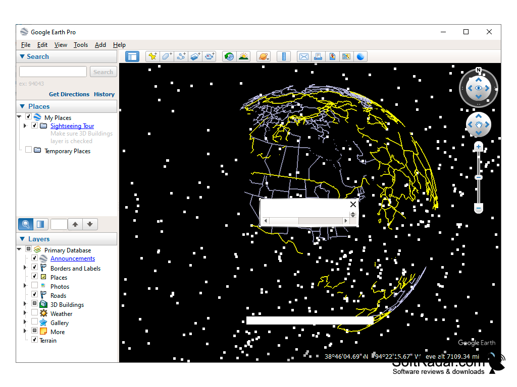
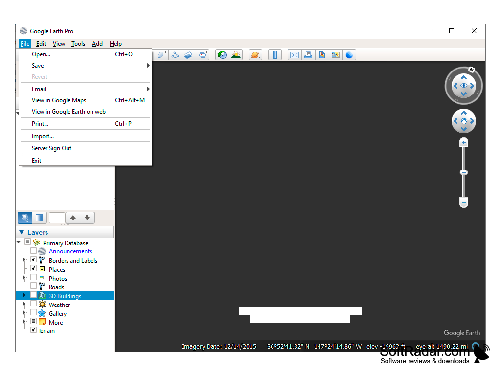
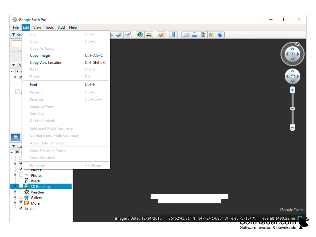
Google Earth software is a virtual globe, map, and geographical information program that allows users to explore the world in 3D. The software features satellite imagery, aerial photography, street maps, terrain, and 3D buildings. It also includes features such as historical imagery, oceanography, and the ability to create and share custom maps.
Google Earth Beta 4.3
(12.79 MB)
Google Earth Beta 5.0.11337.1968
(10.44 MB)
Google Earth 1.3.33.17
(0.75 MB)
Google Earth 6.2.2.6613
(16.65 MB)
Google Earth 7.0.1.8244 Beta
(23.29 MB)
Google Earth 7.0.2.8415
(23.31 MB)
Google Earth 7.1.1.1580 Beta
(24.23 MB)
Google Earth 7.1.1.1871
(24.24 MB)
Google Earth 7.1.2.2019
(24.29 MB)
Google Earth 7.1.2.2041
(24.29 MB)
Google Earth 7.1.4.1529
(34.51 MB)
Google Earth 7.1.5.1557
(0.02 MB)
Google Earth 7.3.2
(1.08 MB)
Google Earth 7.3.2.5495
(1.08 MB)
Google Earth 7.3.2.5776
(1.16 MB)