Google Earth

by Google

Google earth a a nice way to discover the world from your computer.y

Operating system: Windows

Publisher: Google

Release : Google Earth 7.3.2

Antivirus check: passed

Report a Problem

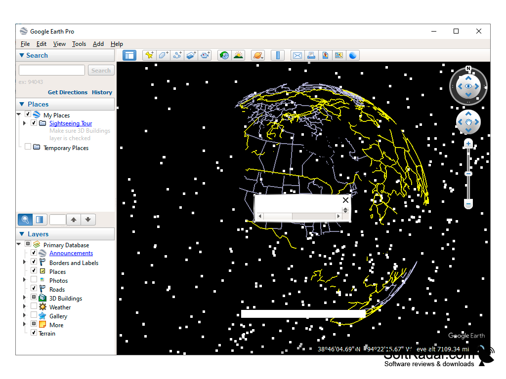
Google Earth is a real virtual globe, which will help you to navigate better in different parts of the world. This program can be used as a geographical guide for tourists, students and students. With its help it is possible to see all relief of the planet Earth (in 3D), separate cities and inhabited settlements. Users can put their own markers, mark the path of a tourist journey, attach images and even download videos.

There is also an option to approach objects from different heights. At the same time, the program may offer to look at the photos taken in this area from a satellite, or those that are available in the Google database (landscapes and attractions from different angles).

Google Earth provides an interactive and detailed view of global geographical locations for navigation and exploration.

Among the additional things you can find weather forecast for all countries and continents, photos of popular science magazines and TV channels, information on volcanoes and depressions. Separate blocks are the sections "Ocean" and "Global Problems and Environmental Studies", which include protected natural sites. They are marked with the signs of various charitable foundations for wildlife protection. And as a bonus it is proposed to look at the pictures of the moon and Mars, provided by NASA.

It should be noted that the program uses GPS navigation system. If you want to instantly go to the right object (country, house, street, or any other geographical location), it is enough to type the name in the field Search ». Moreover, the algorithm here is similar to the main Google search engine, where 2-3 letters to the user will be immediately offered several key options to choose from. You can also search by the specified coordinates.

- switching between Earth, Mars, Moon and the star system;

- a convenient search by object;

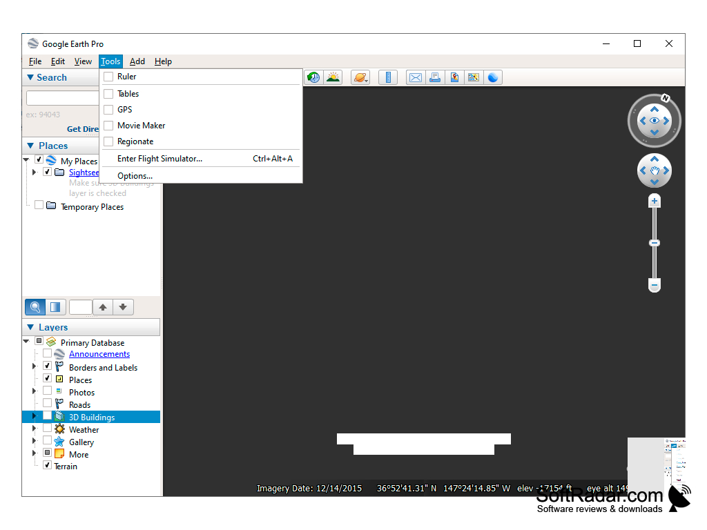
- you can fly the entire globe in flight simulator mode (smooth camera movement along the trajectory);

- a huge number of accurate maps of terrain and cities;

- the ability to track changes with the terrain or cities (clock icon);

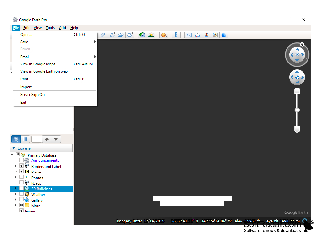
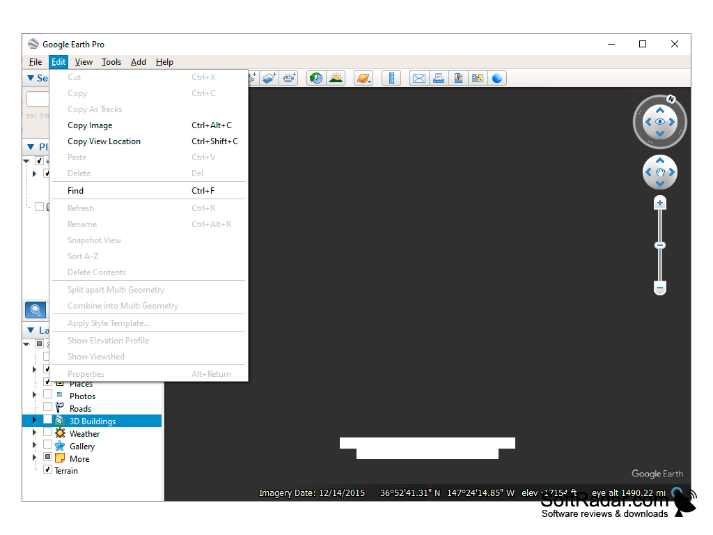
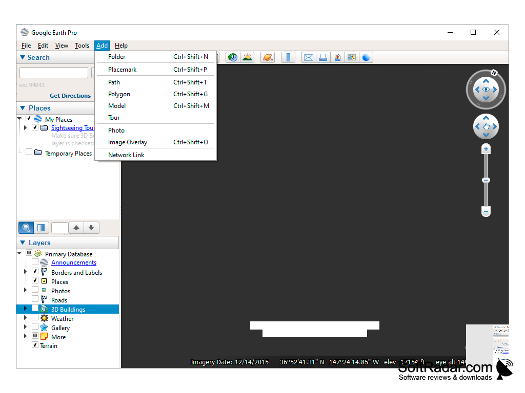
- possibility to create/edit and save (inside the client) your notes;

- A large library of quality photographs with world-class attractions;

- There is a built-in ruler for measuring distances between cities and different geographical objects;

- to add your photos and videos;

- a full-fledged, visually appealing 3D map of the world;

- integration with Maps Engine.


PROS
Enables detailed exploration of world from your device.
Offers historical imagery of places over time.
3D and Street View provide immersive experiences.

CONS
Limited functionality without an internet connection.
May have outdated or inaccurate satellite imagery.
Complicated user interface for beginners.
image/svg+xmlBotttsPablo Stanleyhttps://bottts.com/Florian Körner Blair
Google Earth is an amazing, virtual, real-life map of all of Earth. This program is perfect to help anyone of any age navigate their way around any area in the world. Not only can you navigate easily, but you can also track the local weather, photos, news, and attractions.
image/svg+xmlBotttsPablo Stanleyhttps://bottts.com/Florian Körner Ruaridh
Google Earth is a great program to view the world from lots of different angles in lots of different views. It is great for planning journeys, finding out about new places, and even for knowing the distance between two different places of the map.
image/svg+xmlBotttsPablo Stanleyhttps://bottts.com/Florian Körner Callum Pilant
Google Earth is a virtual globe, map and geographical information program that was originally created by Keyhole, Inc., a company acquired by Google in 2004. It maps the Earth by the superimposition of images obtained from satellite imagery, aerial photography and GIS over a 3D globe. It allows users to explore the world from their own computers, and to search for geographical information such as cities, terrain, roads and other features. Users can also add their own annotations to their customized maps.
image/svg+xmlBotttsPablo Stanleyhttps://bottts.com/Florian Körner Logan J******r
I've been using Google Earth for a few years and it's been a great experience. The software is easy to use and very intuitive. The satellite imagery and 3D views are beautiful and offer a great way to explore the world. The search function is very helpful in finding places of interest. I like that I can also find data about a particular place and get directions. The ability to overlay additional data such as boundaries, labels, and photos is also nice. Recent updates to the software have made it even more useful. All in all, I'm quite pleased with Google Earth.
image/svg+xmlBotttsPablo Stanleyhttps://bottts.com/Florian Körner Riley Soppeland
I found Google Earth to be a great way to explore the world, and its intuituve interface makes it easy to naviagate and find places of interest.
image/svg+xmlBotttsPablo Stanleyhttps://bottts.com/Florian Körner Muhammad B********m
Using Google Earth has been an amazinf experience, except for the occasional glitches which can be potentionally frustating.
image/svg+xmlBotttsPablo Stanleyhttps://bottts.com/Florian Körner Charlie W*******w
image/svg+xmlBotttsPablo Stanleyhttps://bottts.com/Florian Körner Logan S.
Google Earth is a free software that provides a virtual 3D exploration of the earth's surface. It uses satellite imagery, aerial photography and GIS data to show detailed views of cities, landscapes, and landmarks around the world. Users can zoom in and out, rotate the view, and tilt the perspective to get a closer look at locations of interest. The software also allows users to measure distances, create custom maps, and view historical imagery. Additionally, it features a search function that enables users to find specific addresses, businesses, and points of interest.
image/svg+xmlBotttsPablo Stanleyhttps://bottts.com/Florian Körner Leo Ciofani
Google Earth software provides users with a visually stunning and interactive way to explore and learn about various locations around the world.
image/svg+xmlBotttsPablo Stanleyhttps://bottts.com/Florian Körner Joshua
Google Earth is a geospatial software application that allows users to visually explore the planet. It accomplishes this through satellite imagery and 3D geographic models, offering an interactive map filled with details from across the globe. A key feature of the software is its ability to simulate a flight over any terrain, taking viewers on a virtual tour from their device.
image/svg+xmlBotttsPablo Stanleyhttps://bottts.com/Florian Körner Angus
Zooming around the globe without leaving the comfort of my chair.
image/svg+xmlBotttsPablo Stanleyhttps://bottts.com/Florian Körner Mason
Incredibly detailed, interactive global exploration tool.
Jacob
Navigation and global 3D visualization.
Euan
3D maps that let you explore the whole world.
Ava
Can zoom in and see places, like a virtual atlas.
Dicter
Dicter is a free utility that translates texts with support for multiple languages
My Family Tree
A genealogy application for Windows that builds interactive family trees
ServiceMY
Universal program for automating the service center (workshop) and / or shop
English Grammar In Use
Allows for grammar check on windows
Celestia
Free space simulator for window provider