Google Earth 7.3.2
by Google
Google earth a a nice way to discover the world from your computer.y
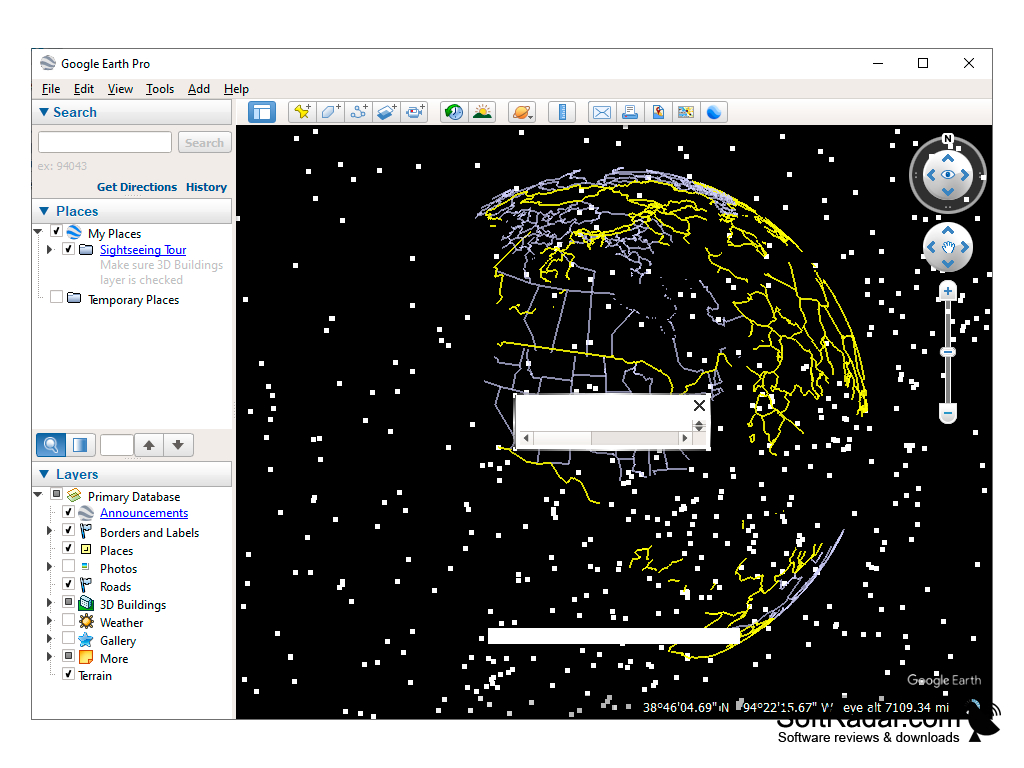
Google Earth is a software that allows users to explore the world through satellite imagery, maps, and 3D terrain. It enables users to search for specific locations and view them from different perspectives. Users can also measure distances, add placemarks, and create tours or presentations. Additionally, Google Earth provides access to historical imagery and street view.
Google Earth Beta 4.3
(12.79 MB)
Google Earth Beta 5.0.11337.1968
(10.44 MB)
Google Earth 1.3.33.17
(0.75 MB)
Google Earth 6.2.2.6613
(16.65 MB)
Google Earth 7.0.1.8244 Beta
(23.29 MB)
Google Earth 7.0.2.8415
(23.31 MB)
Google Earth 7.1.1.1580 Beta
(24.23 MB)
Google Earth 7.1.1.1871
(24.24 MB)
Google Earth 7.1.2.2019
(24.29 MB)
Google Earth 7.1.2.2041
(24.29 MB)
Google Earth 7.1.4.1529
(34.51 MB)
Google Earth 7.1.5.1557
(0.02 MB)
Google Earth 7.3.2
(1.08 MB)
Google Earth 7.3.2.5495
(1.08 MB)
Google Earth 7.3.2.5776
(1.16 MB)