Google Earth 7.1.5.1557
by Google
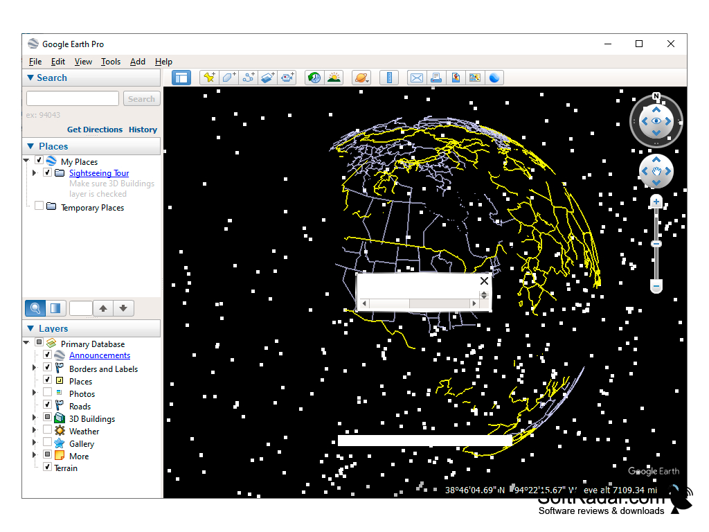
Google earth a a nice way to discover the world from your computer.y
Google Earth is a widely used software that allows users to explore and navigate virtual 3D representations of the Earth. The software offers various features including satellite imagery, street maps, terrain mapping, and 360-degree panoramic views of cities and landmarks. Users can also add their own content, create custom maps, and even take virtual tours of popular destinations.
Google Earth Beta 4.3
(12.79 MB)
Google Earth Beta 5.0.11337.1968
(10.44 MB)
Google Earth 1.3.33.17
(0.75 MB)
Google Earth 6.2.2.6613
(16.65 MB)
Google Earth 7.0.1.8244 Beta
(23.29 MB)
Google Earth 7.0.2.8415
(23.31 MB)
Google Earth 7.1.1.1580 Beta
(24.23 MB)
Google Earth 7.1.1.1871
(24.24 MB)
Google Earth 7.1.2.2019
(24.29 MB)
Google Earth 7.1.2.2041
(24.29 MB)
Google Earth 7.1.4.1529
(34.51 MB)
Google Earth 7.1.5.1557
(0.02 MB)
Google Earth 7.3.2
(1.08 MB)
Google Earth 7.3.2.5495
(1.08 MB)
Google Earth 7.3.2.5776
(1.16 MB)