MapWindow GIS

by Daniel P. Ames

The MapWindow Geographic Information System is a free and open desktop source

Operating system: Windows

Publisher: Daniel P. Ames

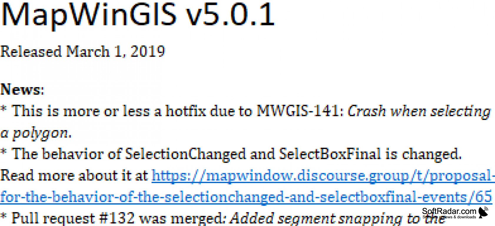
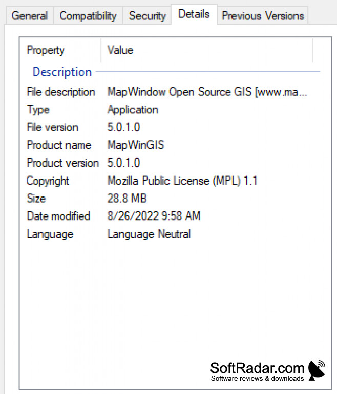
Release : MapWindow GIS 5.0.1

Antivirus check: passed

Report a Problem

MapWindow GIS (Geographic Information System) for Windows is very user friendly that can do multiple tasks and/or have a more complex user form. Since it is an open desktop source, it is easy to modify and maneuver with the latest version downloaded. The MapWindow project company is managed by countless volunteers and is also supported by the community's donations. 

Allows someone to connect to Windows through an extensible plugin architecture
Features:

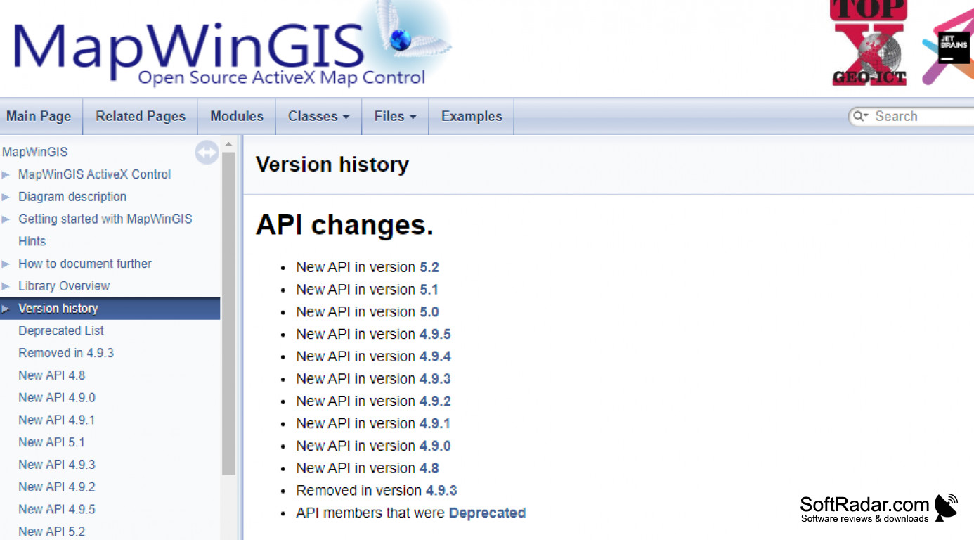
  • MapWindow v4.x - This Map Window is free of charge and ready to use geographic information system (GIS) and spatial data viewer, which all can be modded and can be expanded using plugins. This download application began back in 1998 and has been canceled in favor of MapWindow5 previously in 2015.
  • MapWindow5 - Started back in early 2015, it is made up from the dirt, it is the newer version of MapWindow v4 with it's extendable using the plugins. Some things that this updated version has that MapWindow v4 didn't have are the geo-database support, repository browser, toolbox with restartable tasks, WMS support, and much more.
  • MapWinGIS - Windows Forms get their GIS (Geographic Information System) & their mapping functionality from this downloaded software-based applications. The mapping control that is used in MapWindow4 and MW5 is the MapWinGIS
  • HydroDesktop - This is another newer downloaded software-based application that uses free hydrologic data software that is used for data discovery, visualization, download, integration, and editing with other tools from this app using the next feature I will mention, the DotSpatial.
  • DotSpatial- Last but not least, the DotSpatial is another free downloaded software-based application that GIS (Geographic Information System) locks in the library and tools for C# & .NET based website applications. This software application can be used for commercial or open-source projects that are written in C#.
Windows operating system required
Minimum 1GB RAM
.NET framework installed
At least 500MB hard disk space

PROS
Supports comprehensive suite of geospatial analysis tools.
Highly customizable and extendable.
Open-source and free to use.

CONS
Interface is not very intuitive for beginners.
Limited spatial analysis functionalities.
No advanced 3D visualization capabilities.
image/svg+xmlBotttsPablo Stanleyhttps://bottts.com/Florian Körner Aiden
I love using MapWindow GIS since it has all the functionality I need to create compelling visuals for any analyses or reports that I happen to be running. The program offers a full suite of tools to help you generate images that are meaningful and relevant, and you can even take advantage of the editing tools to make revisions once the original image is set.
image/svg+xmlBotttsPablo Stanleyhttps://bottts.com/Florian Körner Mason K.
MapWindow GIS is a free, open source geographic information system (GIS) desktop application for Windows. It can be used to view, edit, and analyze geospatial data. It provides tools for data viewing, editing, and analysis, as well as a plugin architecture for extending the application with additional features. It is capable of displaying raster and vector data in many different formats, and it can be used to create and modify data. MapWindow GIS also includes tools for georeferencing, coordinate system transformation, and basic to advanced raster and vector analysis.
image/svg+xmlBotttsPablo Stanleyhttps://bottts.com/Florian Körner Cameron Q.
MapWindow GIS software is a great open source option for users looking for GIS mapping capabilities. Its user-friendly interface makes it easy to set up and get going. The software is also quite versatile, offering a variety of mapping tools and options. I have found it to be quite reliable and it runs smoothly on both Windows and Mac operating systems. It also has a great online resource center with tutorials, FAQs, and other helpful information. The software also supports a variety of data formats and works with a number of different GIS programs. It's a great option for those who want to get started with GIS without breaking the bank. It's definitely worth checking out.
image/svg+xmlBotttsPablo Stanleyhttps://bottts.com/Florian Körner Connor Sangha
MapWindow GIS is a great resource for geospatial data anlysis, I've found it user friendly and relatively easy to learn, however I did have some difficulty setting up the data layers at first go.
image/svg+xmlBotttsPablo Stanleyhttps://bottts.com/Florian Körner Harrison I******k
I found MapWindow GIS Sofware to be very intuitive and easy to use, but the documentation could be more clear.
image/svg+xmlBotttsPablo Stanleyhttps://bottts.com/Florian Körner Harris L********q
This software is a free and open source geographic information system that allows users to view, analyze, and edit spatial data. It supports a variety of file formats and includes features such as spatial analysis tools, map printing, and plugin support. The user interface is customizable and intuitive for both beginners and advanced users. The software is constantly updated and maintained by a community of developers.
image/svg+xmlBotttsPablo Stanleyhttps://bottts.com/Florian Körner Brodie
MapWindow GIS is an open-source geographic information system (GIS) that is particularly focused on hydrologic modeling. It provides users with robust data visualization features, as well as advanced spatial analysis capabilities. Moreover, this software is known for its ability to handle large datasets with ease, making it an ideal tool for complex projects.
image/svg+xmlBotttsPablo Stanleyhttps://bottts.com/Florian Körner Josh
Offers powerful geospatial tools with a user-friendly interface, enabling easy manipulation and visualization of geographic data.
image/svg+xmlBotttsPablo Stanleyhttps://bottts.com/Florian Körner Luke
Intuitive interface, comprehensive functionality, excellent for spatial analysis.
image/svg+xmlBotttsPablo Stanleyhttps://bottts.com/Florian Körner Jamie
User-friendly, comprehensive mapping tool.
Alexander
User-friendly and customizable GIS software.
Tyler
Great tool for spatial data analysis.
Evan
This is a very user-friendly version of the Geographic Information System (GIS) for Windows capable of performing multiple tasks with a complex user interface. Being an open desktop source, it is easy to modify and maneuver with the latest downloaded version. The project is managed by many volunteers and supported by community donations. Its MapWindow v4.x version offers a free and ready-to-use Geographic Information System that can be modified and extended using plugins. But the latest version, MapWindow5, brings more innovations, such as support for geo-databases, a repository browser, a toolbox with restartable tasks, and much more. The MapWinGIS software applications provide their Windows forms with mapping and GIS functionality.
Ashampoo ZIP FREE
ZIP Compression tool which is free and easy to use
HARDiNFO Free
Monitor your computer and run test to ensure it is running properly
Apowersoft Free Screen Capture
Screen capture software that allows you to take screenshots without a limit
Eassos Disk Genius
A data recovery and partition manager for Windows
Tenorshare iPhone Data Recovery
A recovery program for data lost for iPhone users