HEC-HMS
by Hydrologic Engineering Center (HEC)
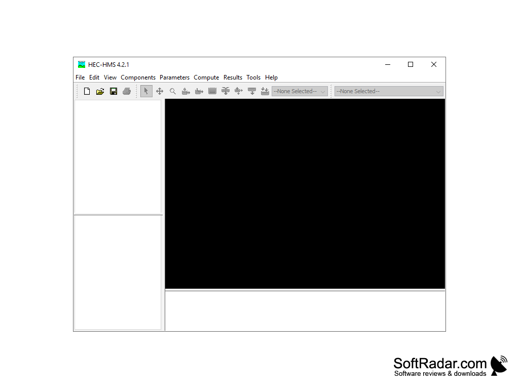
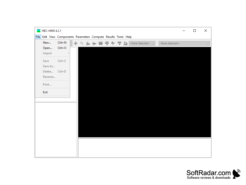
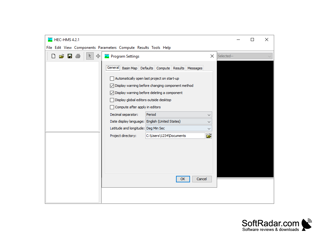
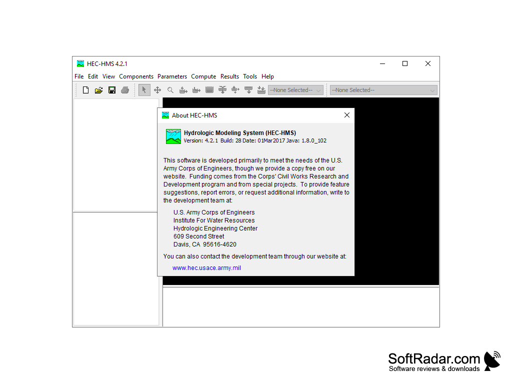
HEC-HMS is a software package for rainfall-runoff and water management simulations.
Operating system: Windows
Publisher: Hydrologic Engineering Center (HEC)
Antivirus check: passed
HEC-HMS is a hydrologic and hydraulic modeling software suite developed by the United States Army Corps of Engineers Hydrologic Engineering Center (HEC). It is used to model water flow and water quality in river basins, reservoirs, streams, canals, and other hydrologic systems.
HEC-HMS is an integrated system of software modules designed to simulate the runoff and routing of water in catchments and channels under various hydroclimatic conditions. The components of the HEC-HMS system include:
• Catchment Modeling – Modeling runoff in catchments using various hydrologic models, including the HEC-HMS, SCS-CN, and USGS-HSPF.
• Channel Routing – Modeling river and stream flows using Muskingum-Cunge, Modified Puls, or kinematic wave routing methods.
• Floodplain Modeling – Modeling floodplain inundation and flood hazard assessment using various hydraulic models, including HEC-HMS, HEC-RAS, and HEC-GeoRAS.
• Water Quality Modeling – Modeling water quality in surface water systems using the HEC-WQ model.
• Watershed Analysis – Modeling watershed hydrology and hydraulics using GIS-based data, such as DEMs, land use/land cover, precipitation, and streamflow data.
• HEC-HMS View – Visualizing results of HEC-HMS simulations in 2D and 3D.
• HEC-HMS Data Manager – Integrating GIS-based data with HEC-HMS simulations.
• HEC-HMS Applications – Developing various applications for HEC-HMS simulations using the HEC-HMS Applications Builder.
• HEC-HMS Online – Accessing HEC-HMS simulations remotely via the web.
• HEC-HMS Support – Providing technical support for HEC-HMS simulations.
HEC-HMS is a powerful tool for hydrologic and hydraulic modeling and analysis. It is used by professionals in the fields of hydrology, hydraulics, and water resources to simulate, analyze, and visualize water flow and water quality in river basins, reservoirs, streams, canals, and other hydrologic systems. HEC-HMS can also be used to develop applications for flood forecasting, floodplain mapping, water quality modeling, watershed analysis, and other water resources management activities.
HEC-HMS enables users to accurately simulate and analyze watershed hydrology on both a small and large scale.
The following are the hardware and software requirements for running HEC-HMS:
Hardware:
• A computer with at least 1 GB of RAM
• A hard disk with at least 10 GB of free space
• A CD/DVD ROM drive
• A Windows-compatible printer
Software:
• Windows 7 or higher
• Microsoft Office (Word, Excel and PowerPoint)
• Adobe Acrobat Reader
• HEC-HMS software
• HEC-GeoHMS software
Hardware:
• A computer with at least 1 GB of RAM
• A hard disk with at least 10 GB of free space
• A CD/DVD ROM drive
• A Windows-compatible printer
Software:
• Windows 7 or higher
• Microsoft Office (Word, Excel and PowerPoint)
• Adobe Acrobat Reader
• HEC-HMS software
• HEC-GeoHMS software
PROS
Allows for advanced hydrological simulation and flood prediction.
User-friendly with in-depth training resources.
Offers capability to customize models.
User-friendly with in-depth training resources.
Offers capability to customize models.
CONS
Requires extensive understanding of hydrology and hydrological systems.
Difficult for beginners due to complex interface.
Limited built-in GIS functionality.
Difficult for beginners due to complex interface.
Limited built-in GIS functionality.