Satellite Antenna Alignment
A program that calculates the angles for satellite antenna installation including obstacle challenges
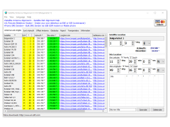
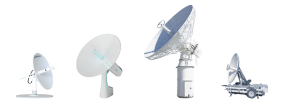
Satellite Antenna Alignment is a software program that allows you to install the satellite dish correctly and securely. It will calculate the rotation angles when installing the antenna itself. To do this, you will need to specify the geographic coordinates of your antenna location, as well as the height and width for offset antennas, and the program will provide you with the data for calculating the angles of all satellites at once and the angle of antenna lift.
However, there are also factors that are not taken into account in conventional calculations, such as the various obstacles in the path of the satellite signal. They can be represented in the form of buildings and trees, as well as terrain features, altitude, transponder orientation, polarization, etc.
Another condition is that the angles obtained will be based on the relatively absolute north, not on what your compass can show, because the compass thing is very unstable, especially in urban areas. Based on this, the program includes a system for calculating azimuth in the sun, which will help you do without a compass.
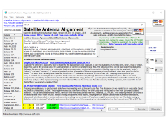
Satellite Antenna Alignment software simplifies the installation process by providing accurate, location-specific calculations for optimal antenna positioning and installation.
The program does not take into account the transition to daylight saving time, so for daylight saving time you need to add +1 hour to the results of the calculation of azimuth to the sun. The altitude is considered to be 0 meters above sea level. The program calculates everything by formulas, and all the data obtained is presented in the form of tables and simple charts. You can save them as a text file or in MS Excel and then print them out if necessary.
The feature of Satellite Antenna Alignment is that it automatically saves the data for the places you have already calculated, so next time you don't have to re-enter all the coordinates and conditions, but you can just select the right place from the table below.
Minimum 512 MB RAM.
At least 20 MB free hard disk space.
Net Framework 4.5 or higher version installed.
PROS
User-friendly interface eases the alignment process.
Can significantly reduce signal interference and downtime.
CONS
Limited compatibility with certain satellite systems.
Occasional inaccuracies in alignment calculations.


