World Wind

by NASA

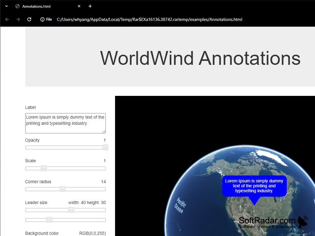
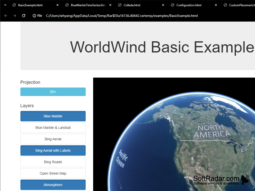
Software aimed to create interactive visualizations of 3D maps and other geographical info

Operating system: Windows

Publisher: NASA

Antivirus check: passed

Report a Problem

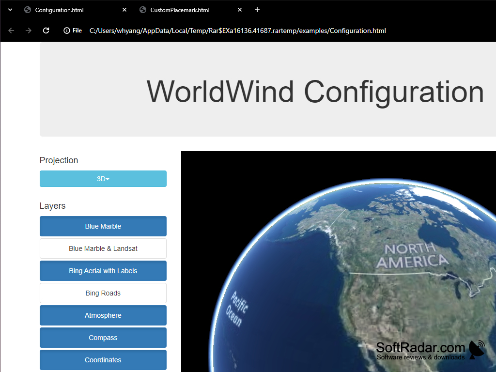
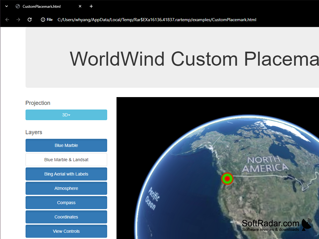
NASA World Wind is an electronic version of the geographic atlas reminiscent of Google Earth. The user of the program can independently set the scale and angle of view of the area of interest to him, view the political boundaries, etc. NASA World Wind, as the name suggests, was created by NASA Research Center specialists and allows to get acquainted not only with the territories of the native planet, but also with the Moon and Mars.

NASA World Wind offers immersive 3D geographic exploration of Earth, Moon, and Mars with customizable scales and viewing angles.
Operating system: Windows 2000, XP, Vista, or 7
CPU: 1 GHz or higher processor
Memory: 2 GB of RAM
GPU: DirectX 9 compliant Video Card with 64 MB VRAM

PROS
Allows for detailed Earth visualization from different altitudes and angles.
Rich geographical data sets including terrain, map and satellite images.
Open-source, making it highly customizable for various user needs.

CONS
Requires high-speed internet for effective functioning.
Limited functionality compared to other similar applications.
Difficult for beginners to use.
image/svg+xmlBotttsPablo Stanleyhttps://bottts.com/Florian Körner Liam I*******l
NASA World Wind is an open-source virtual globe software platform that allows users to explore and interact with a 3D representation of the Earth. It is a multi-platform application that can be used for a variety of purposes, including environmental visualization, educational and scientific research, and geographic information system (GIS) analysis. Features include 3D terrain and imagery, real-time weather, and data overlays. The software is available for free download, and is supported by an active online community of developers and users.
image/svg+xmlBotttsPablo Stanleyhttps://bottts.com/Florian Körner Noah Monroe
I have used the World Wind software for a few projects and I have to say it is quite impressive. The 3D imagery and visuals are very realistic and the mapping features are extensive and accurate. I also find the ability to add layers of data to customize the map view very useful. The only downside I have come across so far is that the user interface can be quite confusing at times. Overall, I find World Wind to be a great resource when it comes to online mapping and visualization.
image/svg+xmlBotttsPablo Stanleyhttps://bottts.com/Florian Körner Jake Krahe
I found World Wind to be a great tool for exploring our planet, it's super simple to use and I love the 3D inteface, tho I did encounted sime problems with navigationg on certain platforms.
image/svg+xmlBotttsPablo Stanleyhttps://bottts.com/Florian Körner Luke W.
I found World Windt to be an incredibly useful tool for exploring the Earth, allowing me to zoom in and pan aroud with ease.
image/svg+xmlBotttsPablo Stanleyhttps://bottts.com/Florian Körner Max Z.
World Wind is a free, open-source software that allows users to explore the Earth and other celestial bodies in 3D. It offers satellite imagery, topographic maps, and other geospatial data. Users can zoom in or out, rotate, and tilt views to explore different areas of the planet. The software also provides real-time weather information, historical imagery, and virtual tours of famous landmarks. It is available for Windows, Mac, and Linux operating systems. World Wind has been used by scientists, educators, and enthusiasts to study the Earth's environment, geology, and weather patterns.
image/svg+xmlBotttsPablo Stanleyhttps://bottts.com/Florian Körner Ollie
Incredibly detailed, interactive global mapping tool.
Poedit
Poedit is a powerful and intuitive editor for translating interfaces that use gettext. Available for Windows, macOS, and Linux
TOEFL
Test preparation materials for windows
English Puzzle
Online puzzle for use on Windows processor
Satellite Finder
Sat finder for windows planform easy
TypingMaster
Helps to improve someones typing speed (wpm)