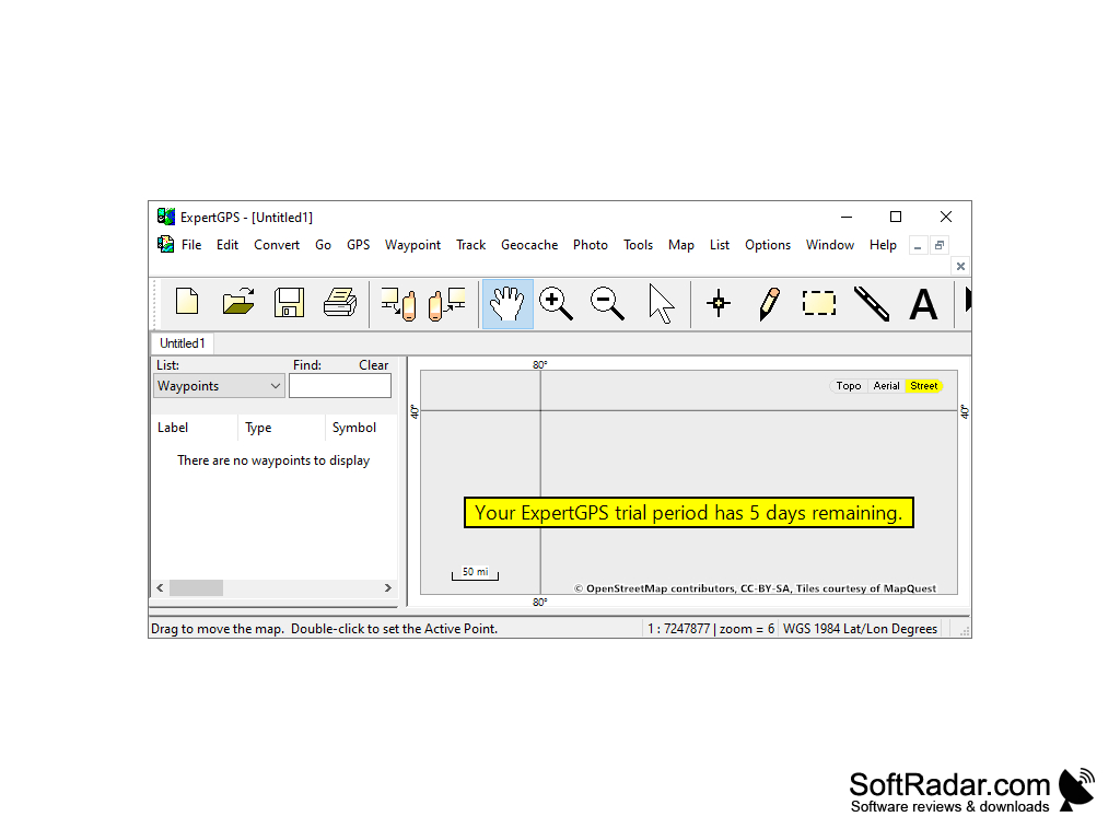
ExpertGPS
by TopoGrafix
A mapping software for Mapping Data Downloading
What this product does is it allows for the downloading of maps and converts data. It is usable for offline use by hikers, event planners unfamiliar with the land, and constructions businesses alike. It truly does everything they need from a mapping perspective. Hikers can use and organize waypoints very easily
Features:
- Topo Maps make it a great tool for hiking
- Can Calculate both the distance covered and speed to keep hiker informed
- Great for event planning by mapping out the land, before the land is even visited
- Can download for offline use
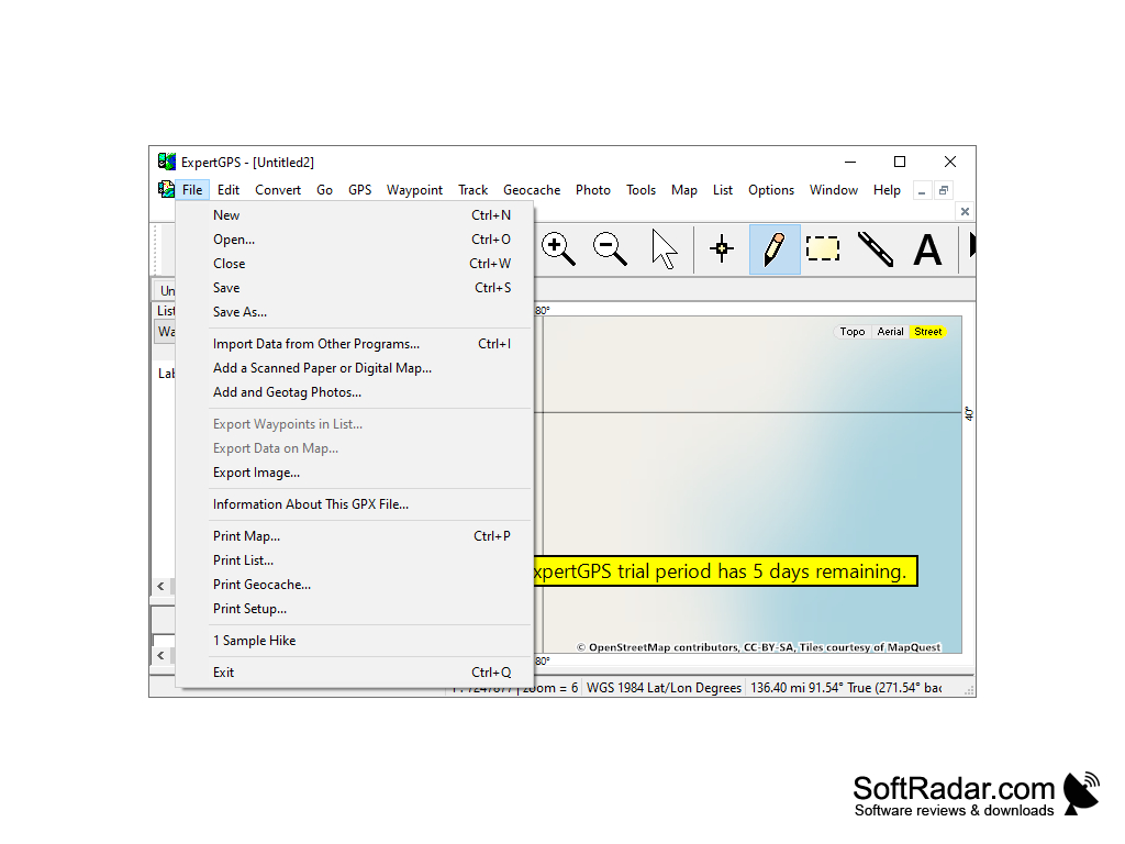
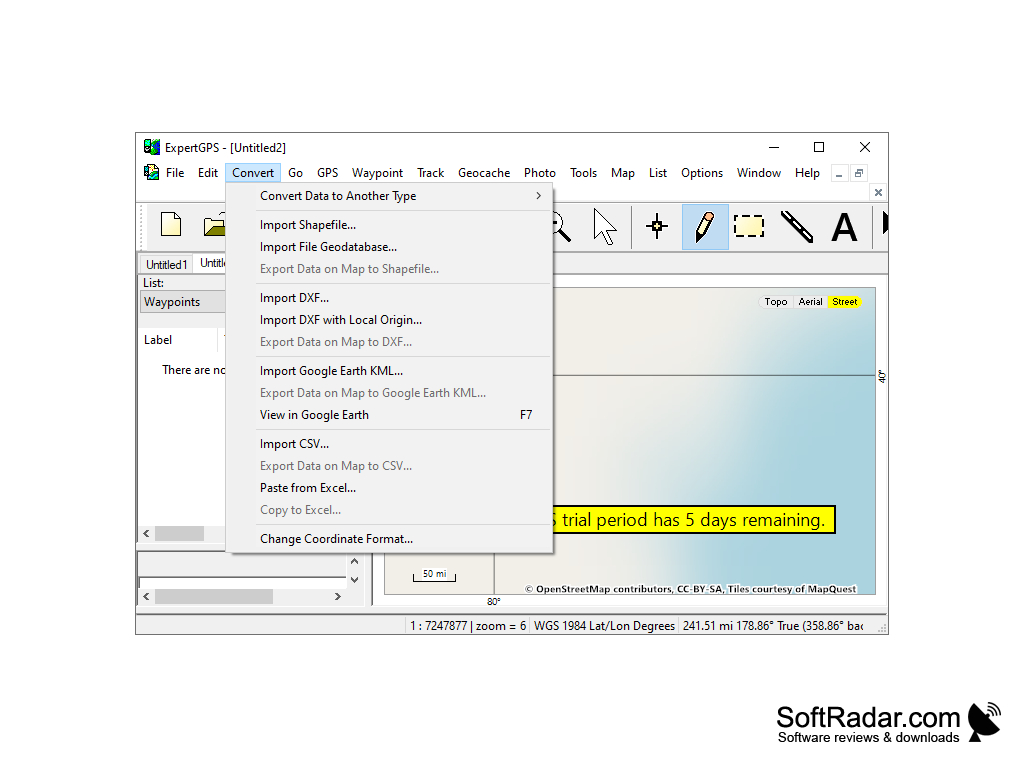
- Can easily convert from any CAD, GPS, Or GIS data
- Can convert the data to or from Google Earth, Excel, SHP shapefiles, TXT, GPX or AutoCAD DFX
- Waypoints can be viewed over aerial photos giving hikers exact information on where they went
- Aerial photos are in very high resolution, with details very clear to the viewer
- Free Trial Available
- Works on Windows 8.1, 7, and 10
- Street maps anywhere in the world are available
- Very easy to track and organize your own waypoints for hiking
- All standard map signals are used on the map
- Can draw your own trails on the map and download them to the GPS
- Can very quickly and easily switch back and forth between satellite views and topographic views
- Ability to zoom in or zoom out on elevation profiles, making it easy to understand elevation profile of your hike
- Can not only use it for planning but also to review trails that you have done in the past
- Constantly updated with the latest update on January 30, less than one week ago
One key benefit is that it can be downloaded for offline use
Expert GPS is a great tool for any hiker, construction worker or event planner. It is an all in one tool that gives precise information on toppgraphy, and provides a precise area for parcels of land.
Windows 8.1, 7, or 10
Offline map downloads capability
Ability to read CAD, GPS or GIS data
High-resolution display for clear aerial views
Offline map downloads capability
Ability to read CAD, GPS or GIS data
High-resolution display for clear aerial views
PROS
Allows editing and conversion of GPS, GIS, and CAD data.
Features numerous map types including topographic and aerial photography.
Easy to use with a user-friendly interface.
Features numerous map types including topographic and aerial photography.
Easy to use with a user-friendly interface.
CONS
Interface can seem outdated and lacks modern aesthetic appeal.
Requires a steep learning curve for non-tech savvy users.
Limited support for non-GPS file formats could limit versatility.
Requires a steep learning curve for non-tech savvy users.
Limited support for non-GPS file formats could limit versatility.